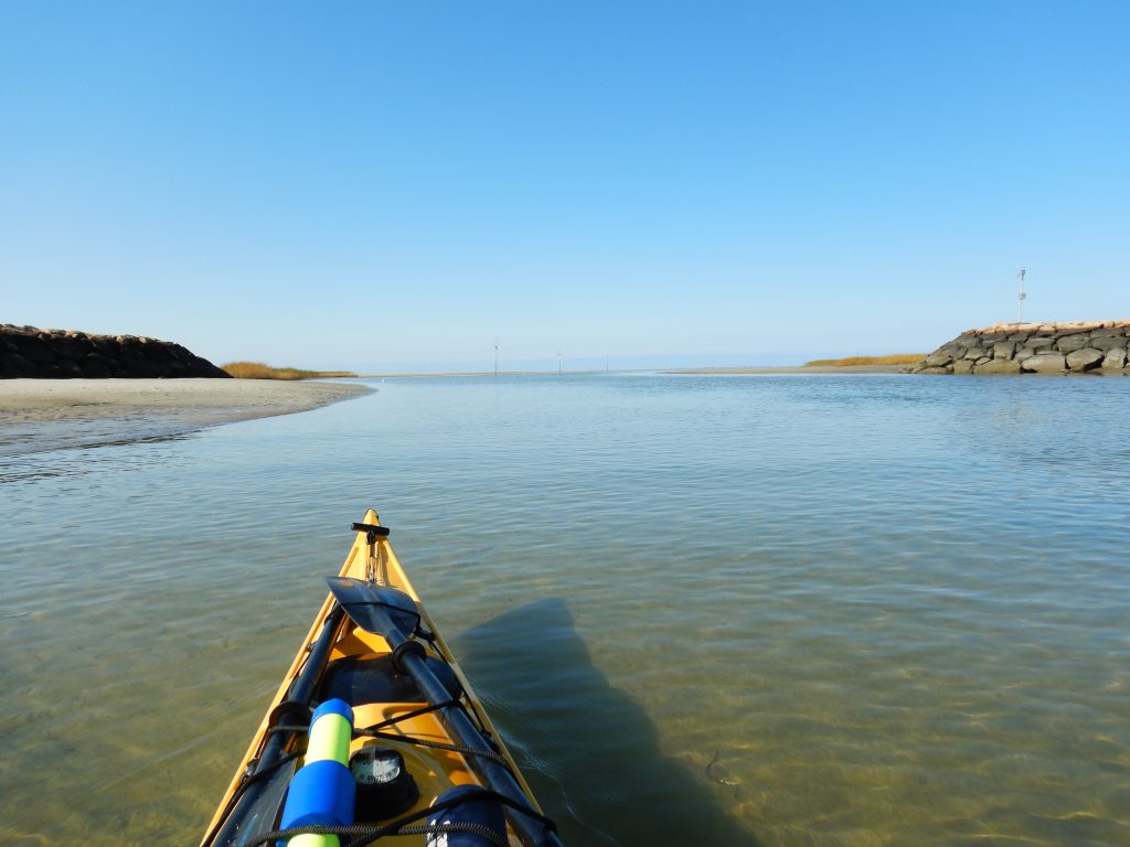
I launched around 1115 from the the Town of Eastham Boat Ramp. The weather at launch was beautiful and textbook perfect for an open water paddle — sunny, a flat bay, winds negligible, temp around 60F. This was my first open water paddle – destination Target Ship and Billingsgate Shoals. The Target Ship is the remains of the SS James Longstreet, a World War II Liberty Ship. In 1944 she became a target ship for experimental US Navy munitions, and was towed to Boston and scuttled on a shoal off of Eastham in 1945. Bombing stopped some time in the early 1970s. Over time the shoal has moved and the ship has sunk, and is still nearly completely underwater even at low tide.
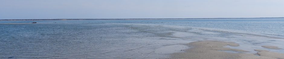
Fishing boats can only enter or exit Rock Harbor within 2 hours or so at high tide. This part of Cape Cod Bay has 10+ foot tidal changes. At low tide you can walk out over a half-mile on mud, and the shallow water continues for another half mile. I had never paddled out of Rock Harbor at near low tide before and assumed a kayak would not have a problem. It was. There was under a foot of water in parts! It was not until nearly 1 mile out that the water was more than a few feet deep, and the shallow water boundary was very clearly defined — a line of breaking waves from the bay where the water depth dropped off suddenly.
It was about a one hour+ paddle to reach the site of the ship. There was little to see above water except for one metal structure. I could see signs of the ship beneath me, but it was hard to get a good view from the perspective of sitting on the water in a kayak. Weather was still sunny, wind <10mph, and seas still quite flat.
I set a new course for Billingsgate Shoals, which I reached in another hour or so. Billingsgate Shoals is a former island that is only visible at low tide. It once housed a community and a lighthouse. As I saw what looked like sand bars exposed at low tide in the distance, one mini island looked rocky instead of sandy. It also appeared closer. So I slightly changed course to head in that direction.
As I got closer, I realized that it was not rocks. It was a large group of seals, covering the entire exposed sand bar! Some of them must weigh many hundreds of pounds (they were huge). I gave them wide berth – I had no idea how they might react to my presence.
I shift course slightly to the left and head towards the next nearest sand bar. But too late. Almost as if on queue, nearly all the seals slide in the water. And start swimming after me. Reaching the sand bar, I got out of the boat, saw that they were still swimming towards me, and decided to get back in and paddle to a larger sand bar. I paddled faster than they swam, and they gave up.
The exposed island was much bigger than I expected! It was all sand, except for some high ground and what looked like rocks at the north end (I was at the south end), but it looked like it was nearly a mile away.It was now cloudy and the winds had picked up. I decided I would get there quicker if I paddled, and I was worried I would be too far from my kayak not knowing how fast the tide would rise here. So I launched towards the bay side away from Wellfleet, broke through the waves, and paddled to the rocks I saw. The rocks were the remnant of what was still clearly an old stone jetty or breakwater. I landed next to it. The only other sign of former human habitation was grid of rock slabs that was likely the base for a structure.
The views of Wellfleet Harbor were great, and I could see the Pilgrim Monument in Provincetown faintly across the open water.
The weather was now cloudy, I could see what looked like rain or dark clouds toward Brewster or Yarmouth. I decided to paddle straight back Rock Harbor instead of a longer excursion to paddle around Lieutenant Island. Prior to launching I learned that beach sand can jam a kayak skeg 🙁
It was a 6 or so mile paddle and took about 2 hours. At this point the wind had picked up coming from the W-SW. I was heading on a near south course (S-SE). Over the first house, the ocean swells became larger and gradually were about 2 feet in height. They were broadside to my course and becoming increasingly annoying. I tracked a slightly westward course from south so my course had some windward angle to the swells, and as they got bigger, I turned to windward a little more. The plan was to turn windward a bit more and paddle on that course until a left turn to leeward would take me on a course to the harbor entrance. I changed course to leeward and the last 20 minutes was a trailing sea off my starboard side. which probably added 0.5 mph to my pace as well!
All in all, it was a confidence building paddling day. I paddled open water, and my total trip length was about 13 miles. My moving average was 3.4mph, but I could sustain 4mph for 10+ minutes at a time when needed. The GPS navigation for setting a course for waypoints was invaluable combined with the compass on the kayak. I did realize post-trip that I really need to carry a paper nautical chart as backup. On this trip I could still always see landmarks all over the horizon, but this is also my home turf where I recognize all major landmarks from Orleans to Wellfleet along Cape Cod Bay.
When I got home, I found the GPS acting wonky (water in connector?) and I cannot download the track! Stay tuned. UPDATE: Communication is no longer possible. I hand-copied out waypoints I measured and estimated my route — see below for chart. I need to purchase a true waterproof GPS with navigation capabilities.
Trip parameters recalled from GPS: Distance 13.0 miles, average moving speed 3.4 mph, max speed 4.8mph. I left around 11:15 and returned around 1615. Estimated travel time 3:50.
UPDATE: 7 months later, I guess it dried out and I got the data downloaded.
Here is another blog post I found chronicling a similar kayak trip. Based on the above water exposed height of the Target Ship it was likely several years ago. I want to try visiting again during a lunar tide!
Leaving Rock Harbor an hour before low tide 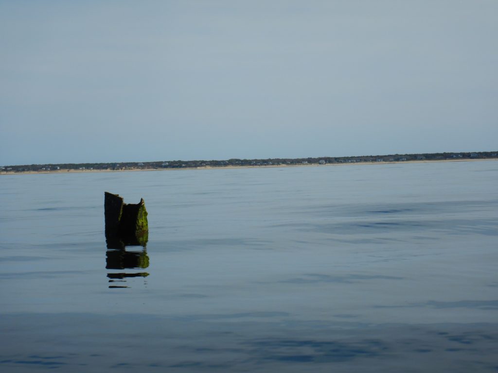
Exposed part of target ship 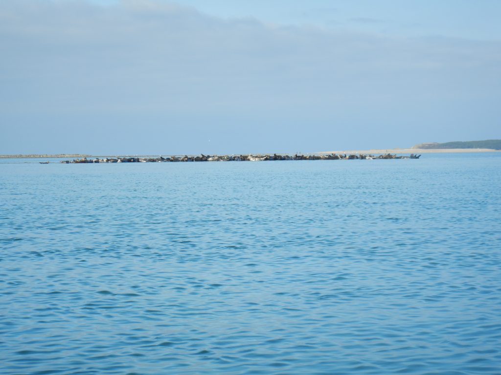
That is not an island of rocks, it is a sand bar covdred in seals! Big ones! 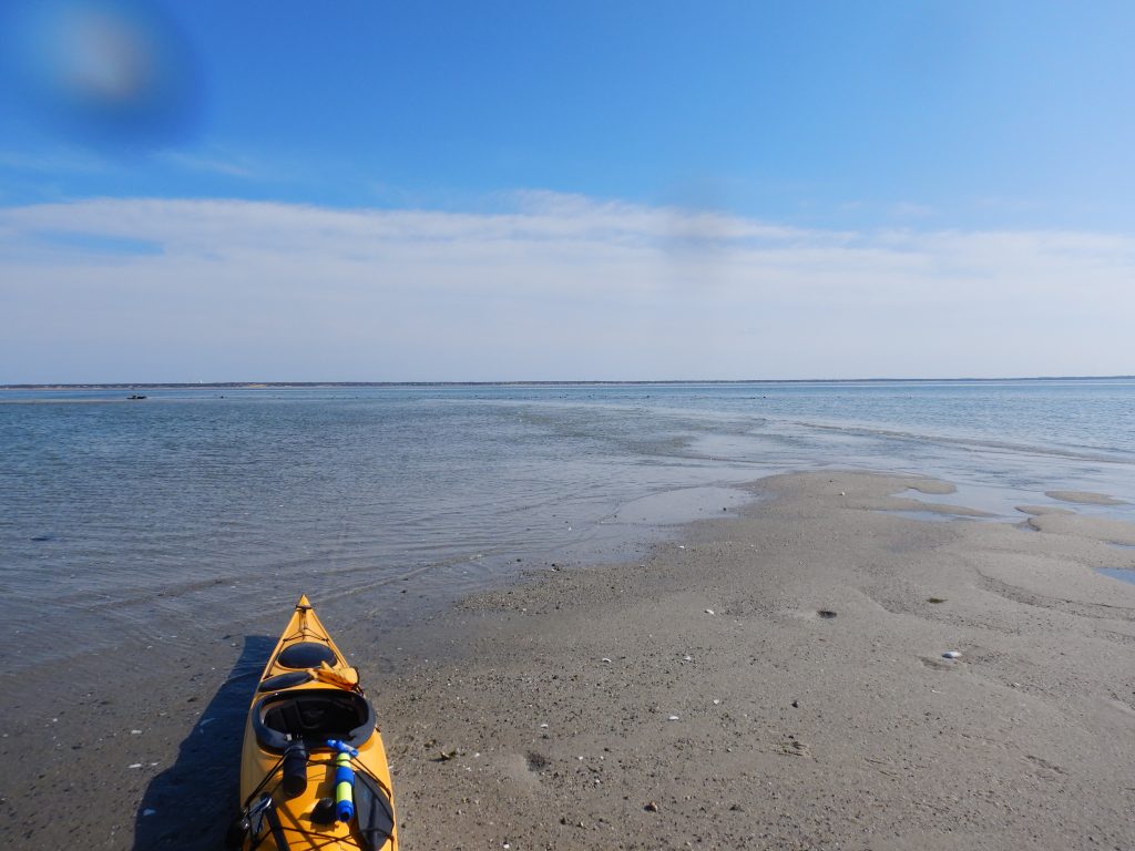
landfall at the southern most sand bar (except for seals) at Billinsgate Shoals 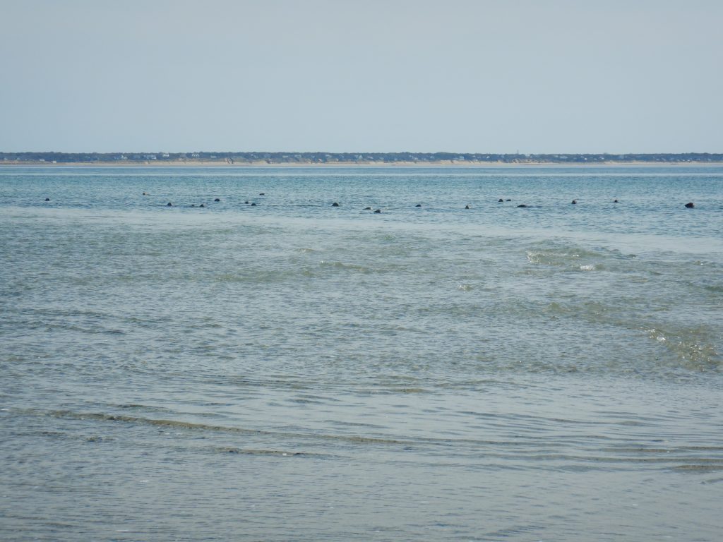
The seals are following me. I got back in my boat and paddled to the big sand bar/island. 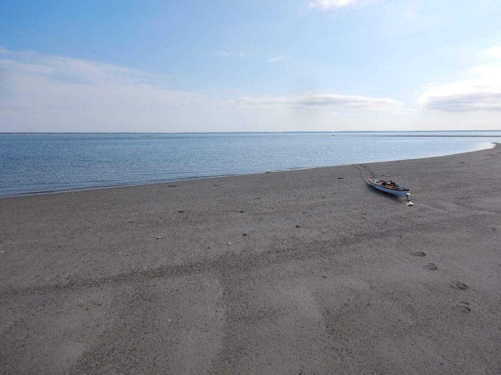
Billingsgate Island (Shoal), southern end 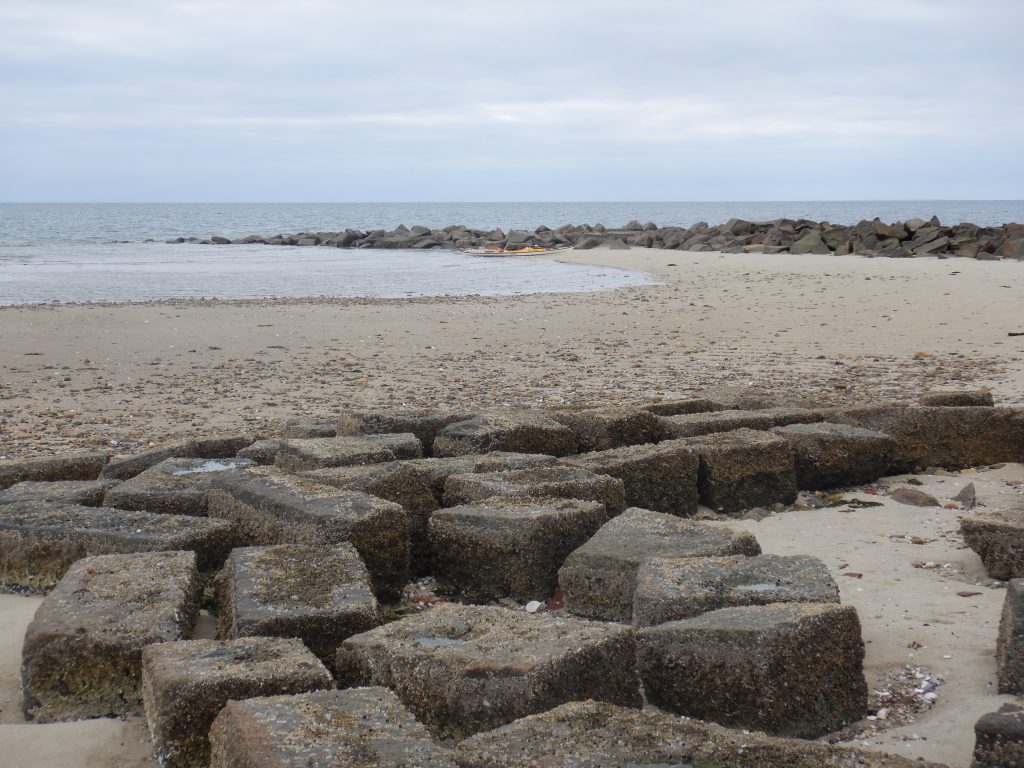
northern end of Bilingsgate 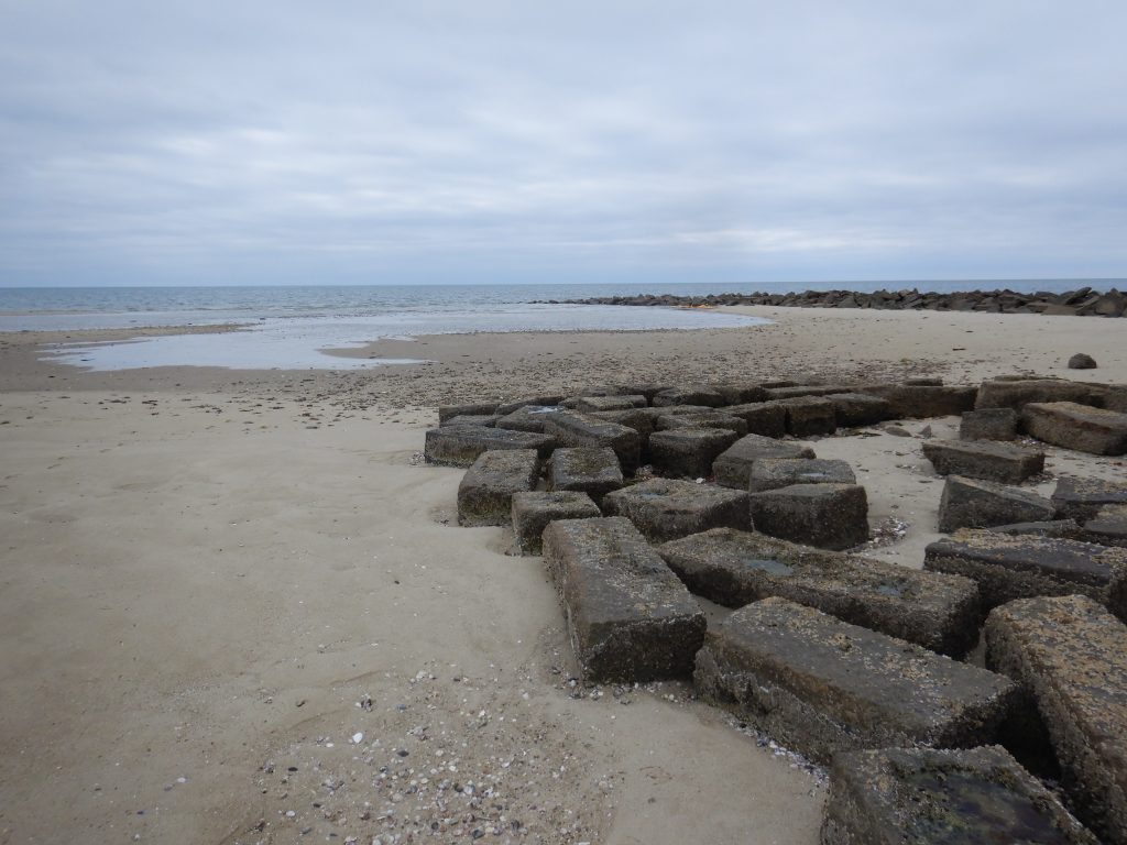
were these sets of a rocks a oundation? This and the jetty I landed next to are the only human signs. 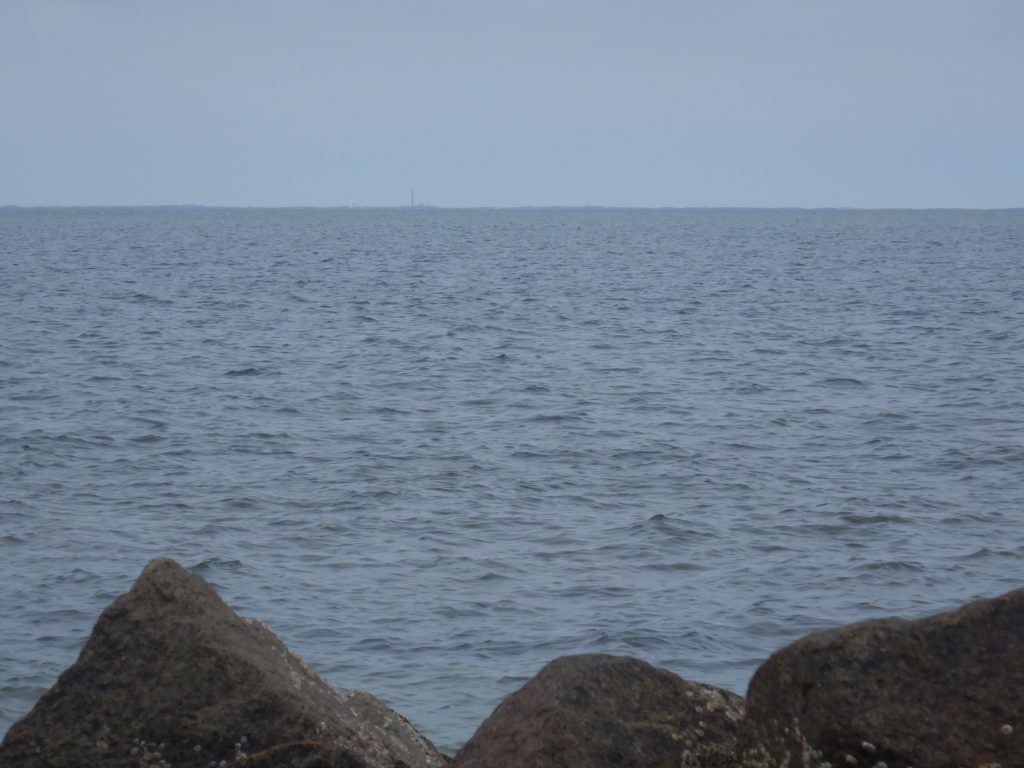
Looking north to Provincetown. See the tower? 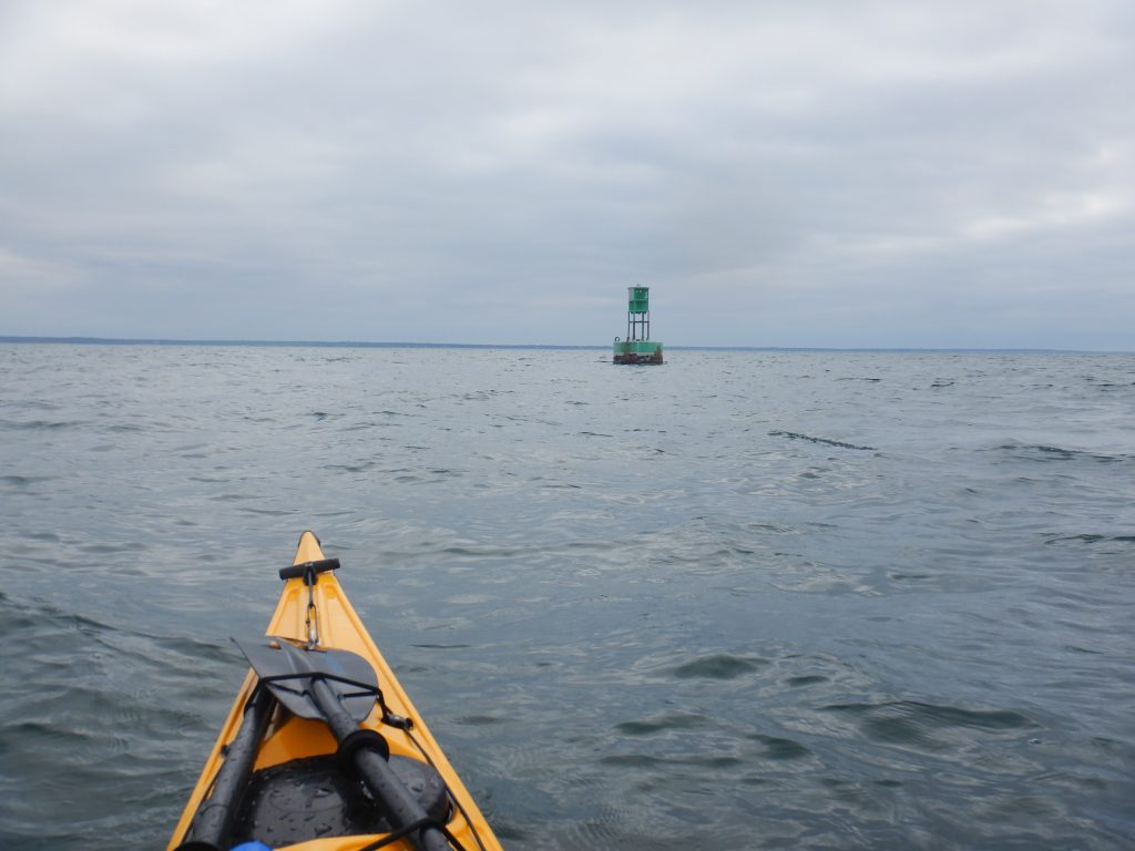
Halfway back to Rock Harbor is green marker 3