I am working on building up my paddling endurance as well as just calibrating my pace. My goal for the next year is to be able to paddle at least 12 miles. I seem to be able to maintain a 3mph+ pace for several hours without any major exertion.
The goal today was at least 6 miles (2+ hours). I chose my paddle direction based on the wind. Wind was from the NE and 10-15 mph, but the bay was FLAT because the wind was coming from over the Cape. I chose north so I would have the wind at my back on the return trip. The goal was to paddle at least past First Encounter Beach and back down.
Because I launched at high tide, and it was a new moon, the marsh level was high enough that I launched from the marsh just west of our house! I had been waiting for the tide to be high enough to launch there!
Uneventful paddle, though the wind shifted to the E and sometimes SE on the return trip, so ironically I had a head wind on the return trip.
I noticed a weird effect (illusion?) on the return trip. I was using “The Rock” and the tower at the Community of Jesus as my reference point. Heading into my port side I had the wind as well as the ebb tide current. I could tell looking at reference that this was shifting my course to starboard. Yet I consistently had the physical sensation that the boat was sliding to the port side. It was weird. Maybe there is a name for this. Maybe it was just in my head. Having the skeg half down helped with maintaining my course.
The on-the-water perspective and the slow pace enables me to notice things I may not otherwise see. This cottage community on the water was somewhere north of First Encounter Beach.
I took out at the “usual spot” off Dyer Prince Road. Someday I’ll post a photo of it!
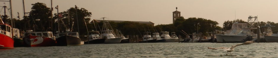
off we go 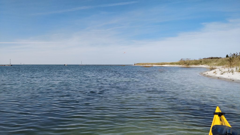
kite flying off Dyer Prince Beach at Rock Harbor 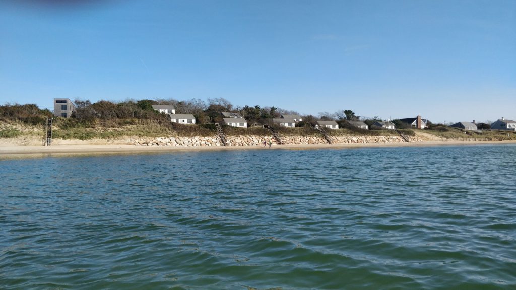
Cute cottage community on the bay, somewhere N of First Encounter Beach and S of Thumpertown Beach 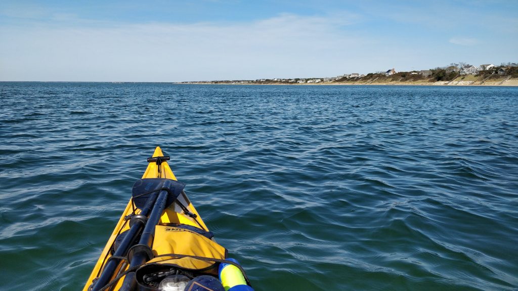
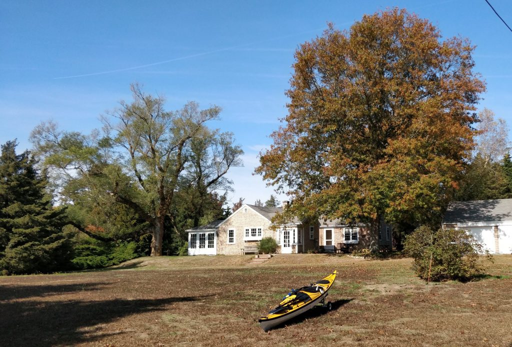
Paddle North!