Beautiful day, 80F, winds were 15mph or so, but no chop in the marsh.
My goal today was to determine when the tide currents change in the marsh. Past experience has suggested that some paddling guides don’t quite have it right.
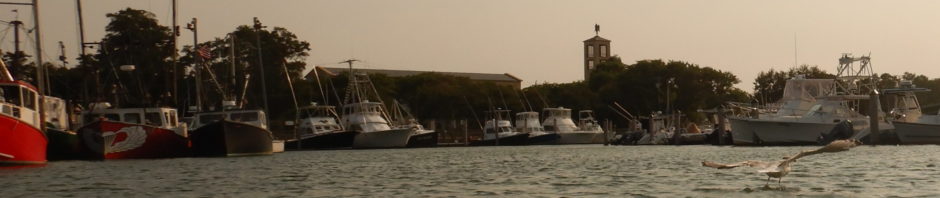
I launched from Hemenway around 1030, thinking I’d reach the inlet not long before the tide turned. I was half right.
Paddling was the typical Nauset trip, tide was low (but as I learned later, 2+ hours from low). I arrived at the Nauset rip, and there was still a healthy ebb current out the inset. The Atlantic surf was moderate and I really wanted to try some close in waves, but I didn’t know how the ebb current may add to rip currents and decided not to until the current turned. According to the tide charts, low tide at Nauset Beach was 1130.
I got out at a spit in the inlet to wait the current out. I could see the tide slowly coming in on the Atlantic side of the spit, but the ebb flow out was still significant! Out of stubborness, I waited about an hour (and enjoyed the views!) but the ebb flow still had no stopped.
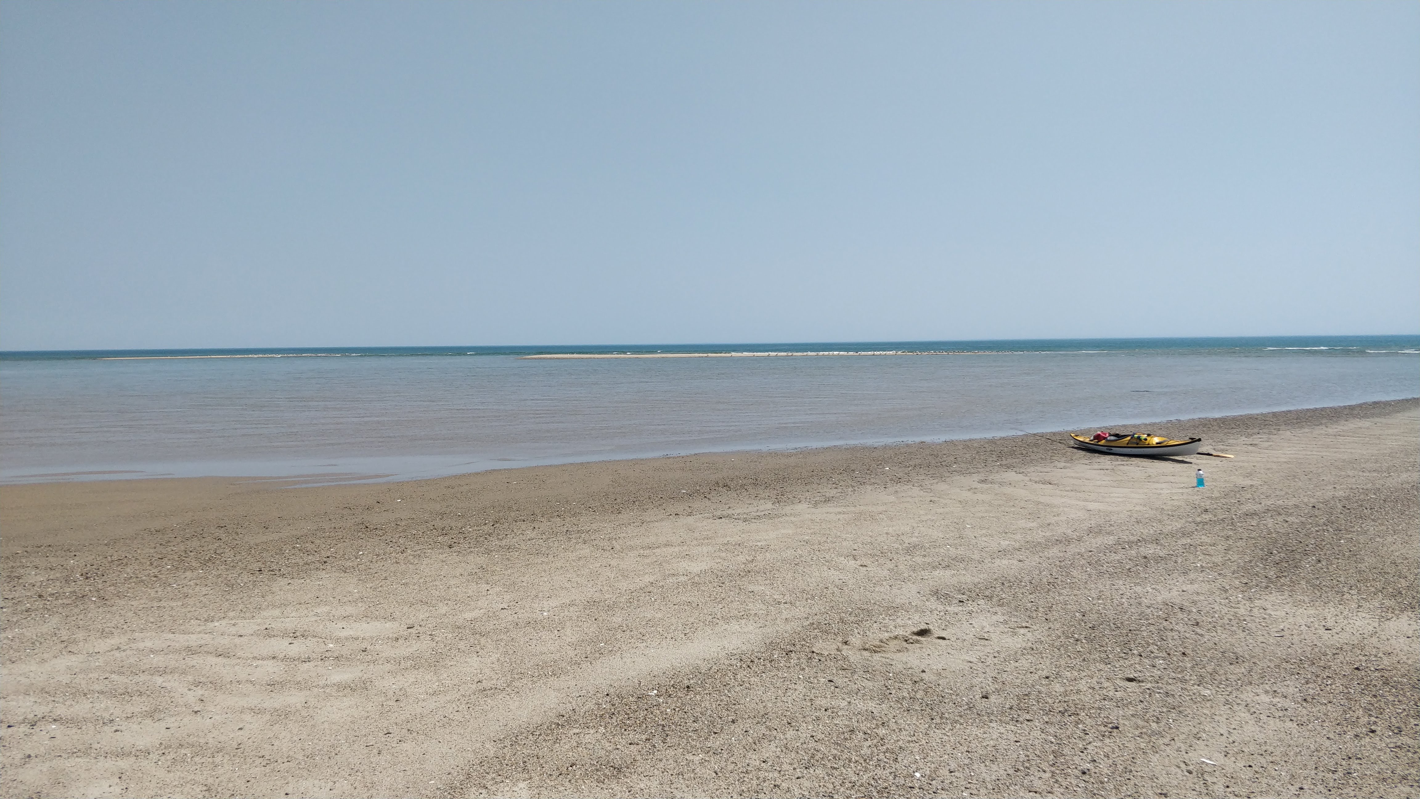
Seeing how it had decreased, I decided to start paddling back. Before I did, because the surf was mild and rising tide had the waves starting to reach the inlet, I paddled through the cut and caught one long surf back in. I am not very experienced at ocean (vs whitewater river) surfing and the speed took me by surprise! It was a fun long run, and I clearly have a bit to learn about how ruddering and edges work on a surf in a sea kayak vs a whitewater kayak.
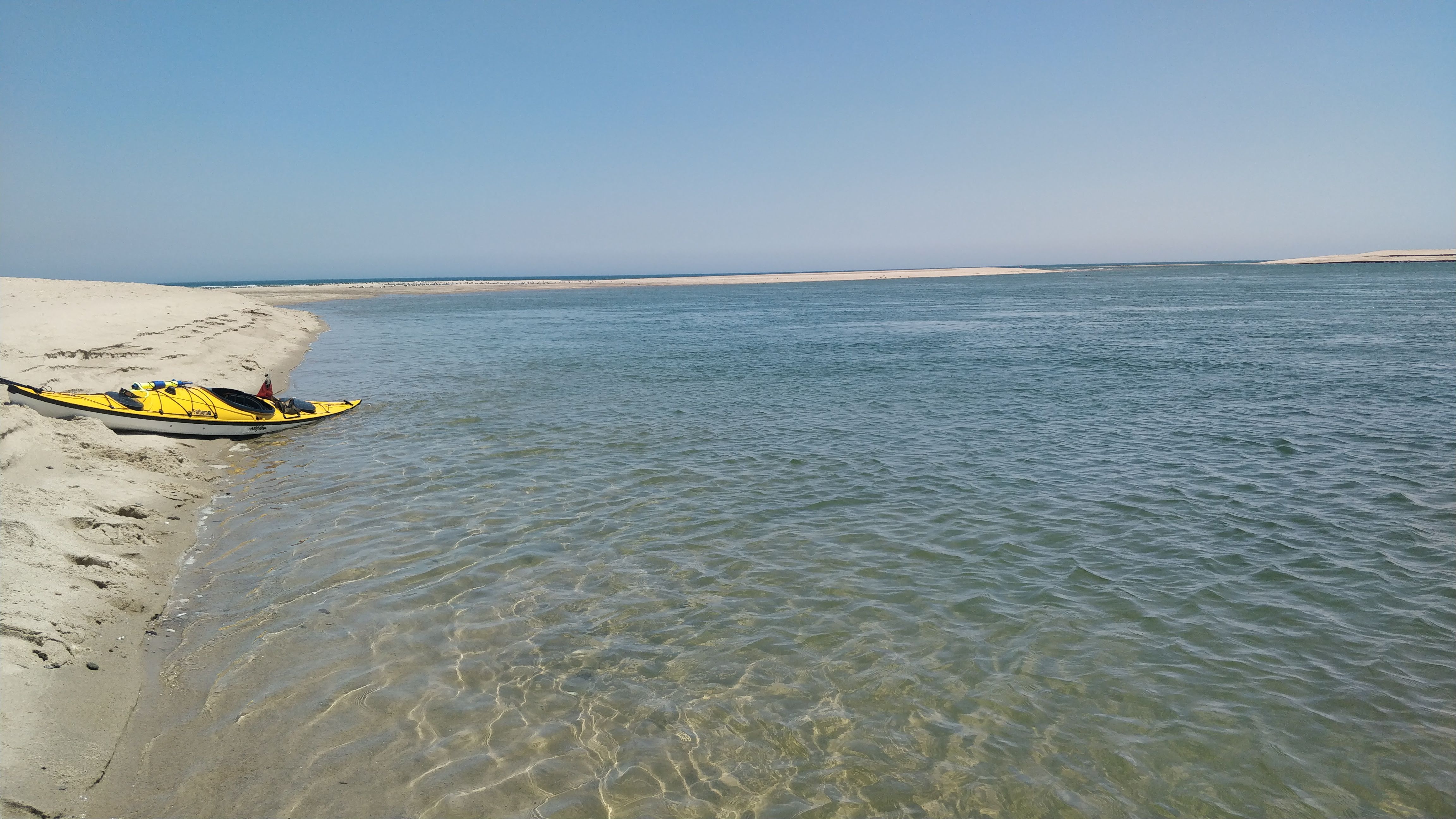
About 15 minutes in I made it to the narrowest part of the channel, but here the current was stronger again. I ferried over to the Eastham (vs Orleans) side of the channel and again waited a bit longer.
Finally, I started paddling back. Still fighting an ebb current, and also a significant head wind now (I passed several tour groups happily paddling with the current against me!) I made it back to Hemenway around 2pm or later, at what appeared to be dead low.
Putting the boat on the car roof while being savagely attacked by greenheads was not fun!
After a few trips out, my general rule for Nauset is this. The Nauset Beach tide forecast is for the water levels at the ocean. It is accurate, and I could see the levels starting to rise past low tide at 1130 or so. However, the Pleasant Bay tide forecast (where low tide was forecast for 2pm) appears to be a better guide for levels far inside the marsh and also for estimating the direction of tidal currents. It is a bit south but suffices for within 15 minutes or so. Useful for the future!
Being the academic I am I searched a bit — the issue of tides and shallow estuaries has been studied — in this very marsh. Many times over the last several decades. Every decade or so the inlet (or inlets) changes with new hurricanes and shifting sands, and there is an impact on the currents and march circulation that local boaters have to adapt to.
In hindsight looking at my speed on the GPS data, the currents were significant. I can paddle comfortably at a 3.0-3.3 mph page (not trying to speed). Outbound, my speed was 4.5 to 5 mph, going with the current. The return trip was 1.5-2.0 mph.
Pleasant Bay tidal station-> https://tidesandcurrents.noaa.gov/stationhome.html?id=8447291
Nauset Beach tide and surf forecast -> https://www.surf-forecast.com/breaks/Nauset-Beach/tides/latest