This article was originally posted in the Georgia Canoe Association Eddyline. It is a writeup of a trip taken by Todd McGinnis and I on 12 January, 2014.
Noontootla Creek – the creek less paddled
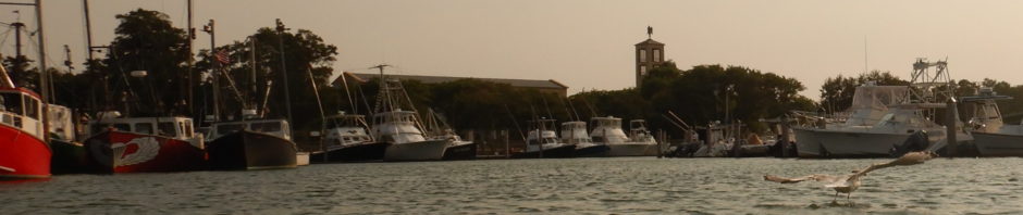
Noontootla Creek is a trout fishing tributary to the Toccoa. it is roadside along FS58. I have been eyeing this for years — my family has gone on many hikes in this area — it looks like a blast, and Will Reeves wrote up brief description of his trip in the 1990s which you can find if you search the GCA website. The Toccoa had peaked at 2400 cfs at 5pm January 11, and was holding steady at 1200 cfs when Todd McGinnis met me at the Toccoa the morning of January 12. Since it was just the two of us, I said “want to scout/try something new?” I had not heard of anyone paddling Noontootla (besides Will).
Short version: 1 hour of road scouting, almost 3 hours of river time to paddle 3 river miles, 9 portages (all due to deadfalls, not rapids).
We put in at campsite F and took at campsite B — these are among the several unimproved campsites along the forest service road. We could have put in even further up river, but this seemed like a safe distance given the time of day and expectations of deadfalls.
According to online data, we dropped 382 vertical feet in those 3 miles. It might be an overestimate, but looking at a USGS topo map with contour lines, it was certainly 300+. I have never paddled continual gradient like this.
Despite the portages, this is the most fun I’ve had on a river in a long time! I am not a creek boater, but now know why it is addictive. The upper stretches had numerous 3-7 foot drops and slides, some sketchy, lots of moves to be made – I found it thrilling! I now appreciate the value of a good boof, had two drops (one sideways, one backwards) with some hold time at the bottom of said drops, but still wound up with a dry hair day. I don’t usually paddle stuff like this, but it was a blast!
This was more fun and technical than my day on the Upper Upper Hooch a few years ago. This is a solid class III run in the upper reaches – complex rapids, and a few spots with must-make moves. Todd thinks some require class IV skills (see his comments below). We saw the weirdest undercut rock I have ever seen (water swirled around the top and flowed back towards upstream, over the undercut).
At this point, I will insert comments from Todd McGinnis. I will note that I think Will Reeve’s Eddyline article from the early 90s paddled only one mile of river, and likely the more downstream section of what we paddled.
Advice for anyone else considering doing this run:
1) Level – our water was getting low by the end. Don’t go just by what I stated the Toccoa was running at – I think what is more important is how high the Toccoa got the day before, which is a measure of how hard hit the area was with rain. It likely helped that the ground up there is pretty soaked and holding a lot of water.
2) Be careful. Scout a lot. By road and boat. There were at least two spots that we saw by car that we would not have seen (or necessarily considered scouting) by boat. We marked these spots so we could note them when paddling. While we had 9 portages (6 were short “walk around the tree”, 3 were longer and had some bushwhacking), there many others where we had to scoot, duck, or choose a suboptimal line to get down.
3) Be nice to the trout fishermen. This is a very popular trout fishing creek. We saw quite a few while scouting, though none by the time we ran it. They were all nice to us, and we were nice to them.
Finally, some comments from Todd McGinnis, from his Facebook posts:
This was a great day. It was a tight run with a good number of portages. Will Reeves writes it up as a class II III creek run and while I do not deny there are definately some class IIs in there it is not a class II level creek. IF you want to run this you need to bring your Class III/ IV skils. Hard to compare as each run has its own characteristics and unique attributes (big word score). That said the drops are characteristic of the Upper Nanty but in some cases much tighter as you are making your approach in and setting yourself up in sections that may not be any wider than 10 feet. It is a gem of a run because it is hidden much like Fires Creek.
There was one section that had three blind turns and at one of them we heard something so we decided to get out and take a walk to see what the noise was all about. We found the source of the noise. The water was pushing through a narrow section over about an 8′ drop. The river right side was a slide right into little low head but could be easliy punched. The only issue was if you messed up you would either be surfed right into a strainer and your exit river left was a pile of rocks. So the middle line had a good flow but you would have to boof right between two butt-cracking rocks (not Shiva friendly) but it looked doable. As we left to get back in the boats we noticed a nice clean left line that missed all that other junk and had a nice out flow. That was to be our line! Well back in the boats we go. As I make my way to the rapid I notice that the far left line is not there – it does not exist from the top – so plan “B” . I yell to Rob there is no left line — middle boof. I take the boof and grab a small bit of the ass cracker but still nice landing into an eddy to wait for Rob. Rob heard me and threw down a sweet boof.