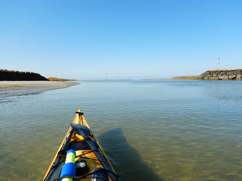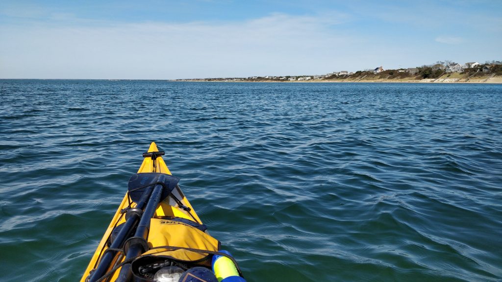
Today’s paddle was an adventure, and not the way we expected. I have a bucket list item of circumnavigating Monomoy Island. This was not the day to do it (it is about 20 miles round trip, and we were launching at 230pm), but in my past Chatham paddles I’ve been confused about all the sandbars between Chatham and Morris Island and Monomoy.
The plan was to launch from Stage Harbor, paddle out into the sound, paddle south along N and S Monomoy Islands, turn around and come back. I budgeted for 8-10 miles and an hour for stopping/eating/viewing, which would easily get us back by sunset. At least that was the plan. The final route is below. If you wonder why our speed was so slow if you clicked on the link, the rest of this blog post will explain …
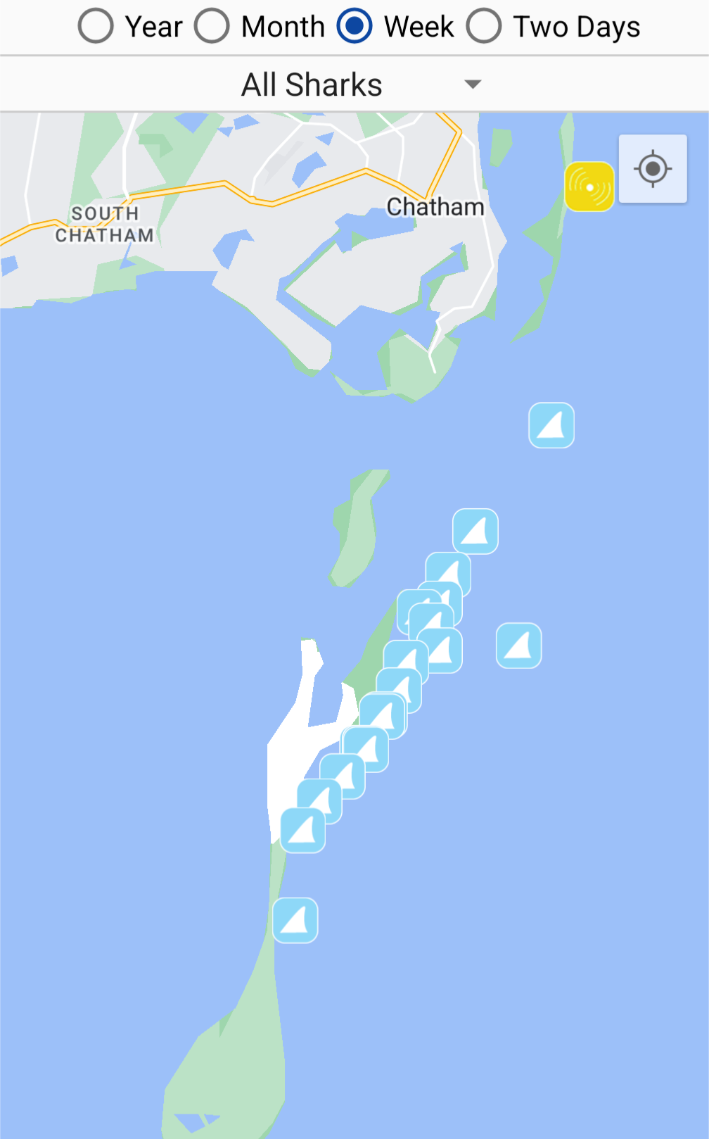
We were going to stick to the Nantucket Sound side, as winds were from the SE, and also the Atlantic Side of Monomoy is where half the sharks on Cape Cod seem to be seen according to the Sharktivity app.
I had heard that the sandbars and shoals around Chatham and the Monomoys are ever-changing, and we really learned that lesson today! I live in Eastham, and I’m used to the Nauset inlet and the outer beach changing from year to year, but apparently the bars around Chatham change even more regularly that that. For some recent history on how much the sands around Chatham change shape, read this –> https://storymaps.arcgis.com/stories/14a225d316134b828e89a7cc3fc8ec29
I found this blog post from 2012 also useful (small world, I knew Vlad from my research career, we also served on grant review panels together) -> https://windagainstcurrent.com/2012/02/13/circumnavigating-monomoy/
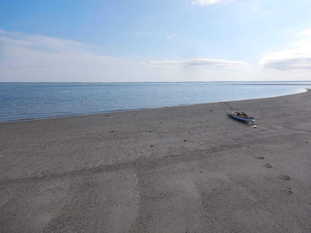
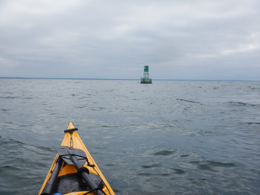
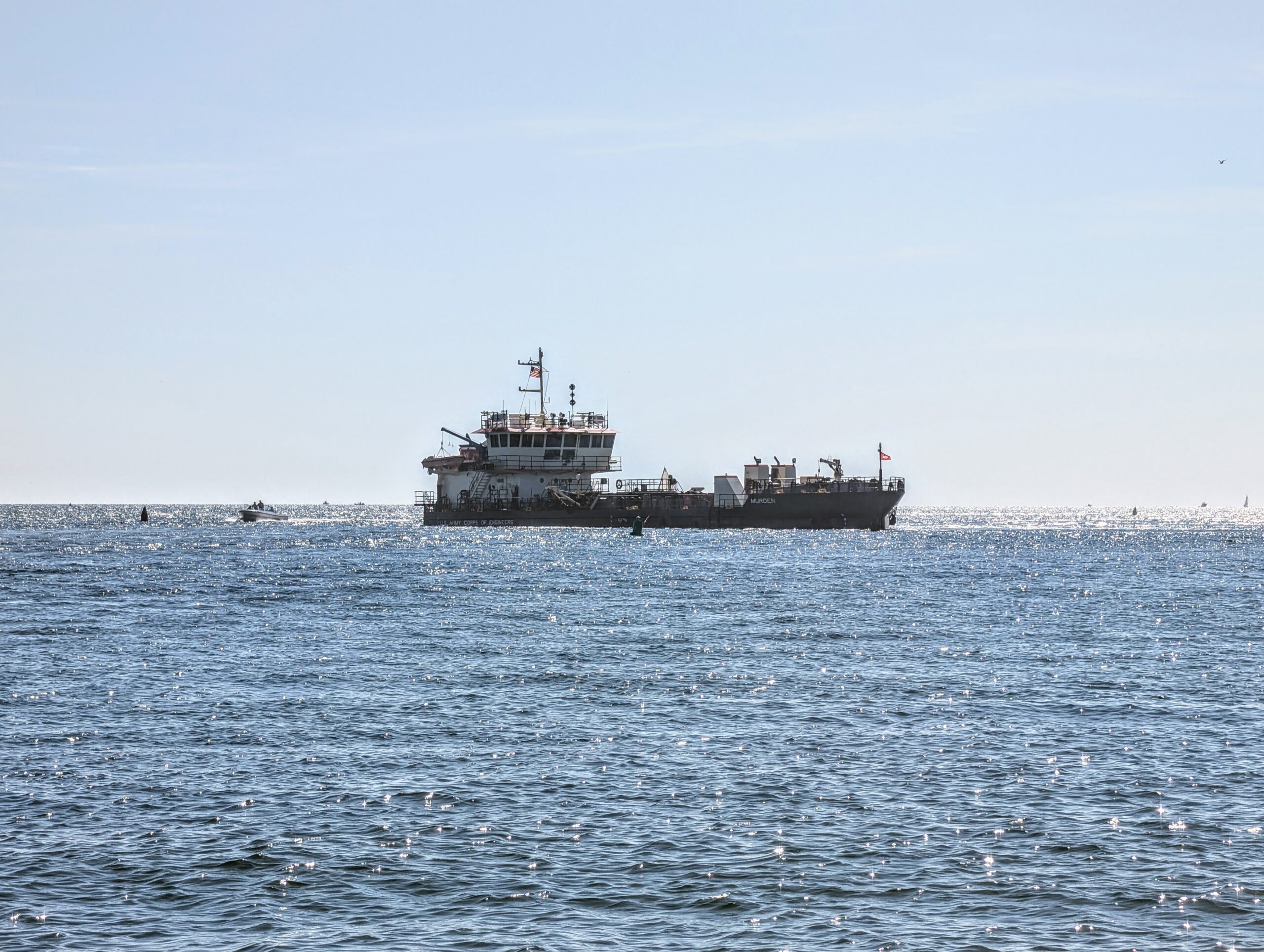
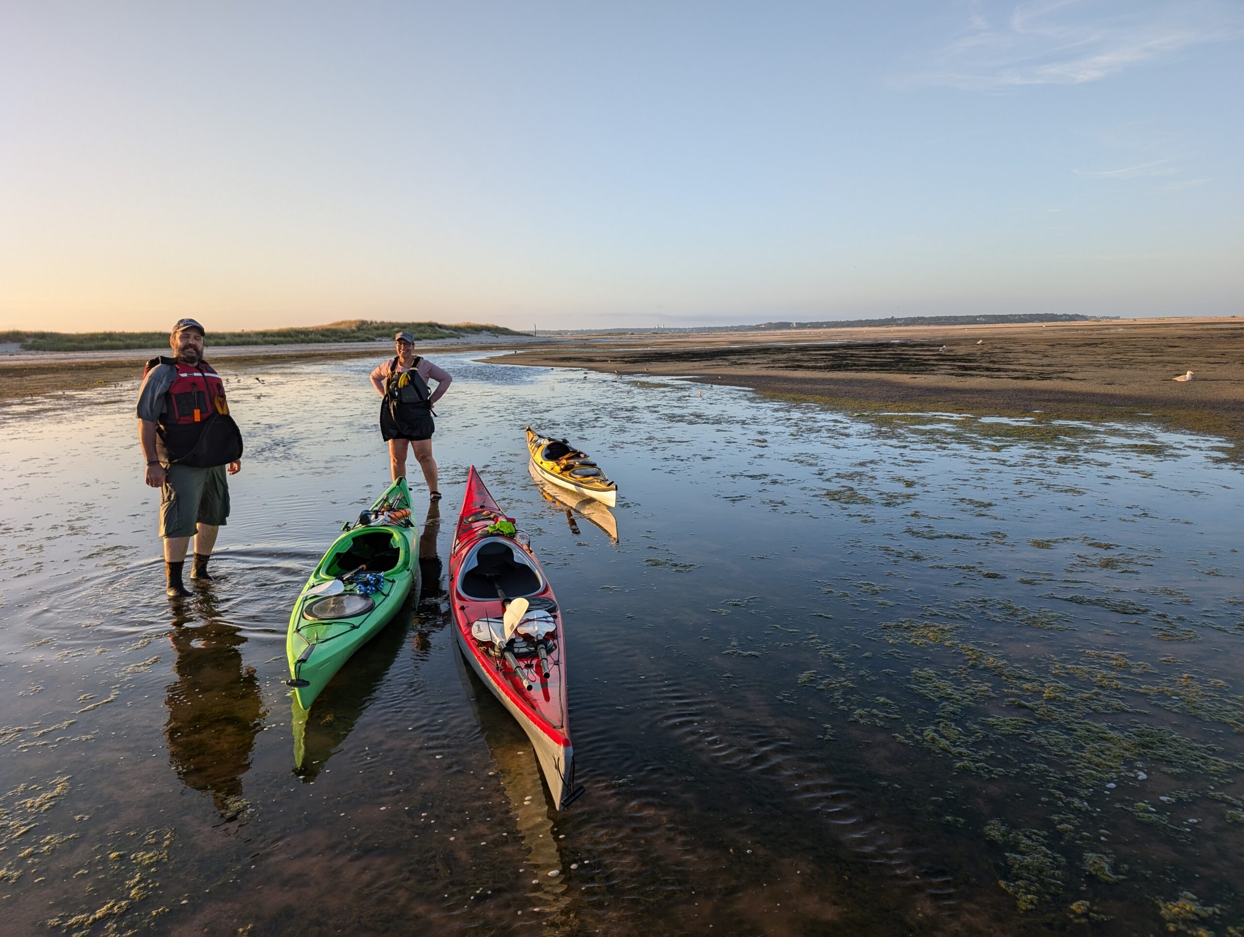
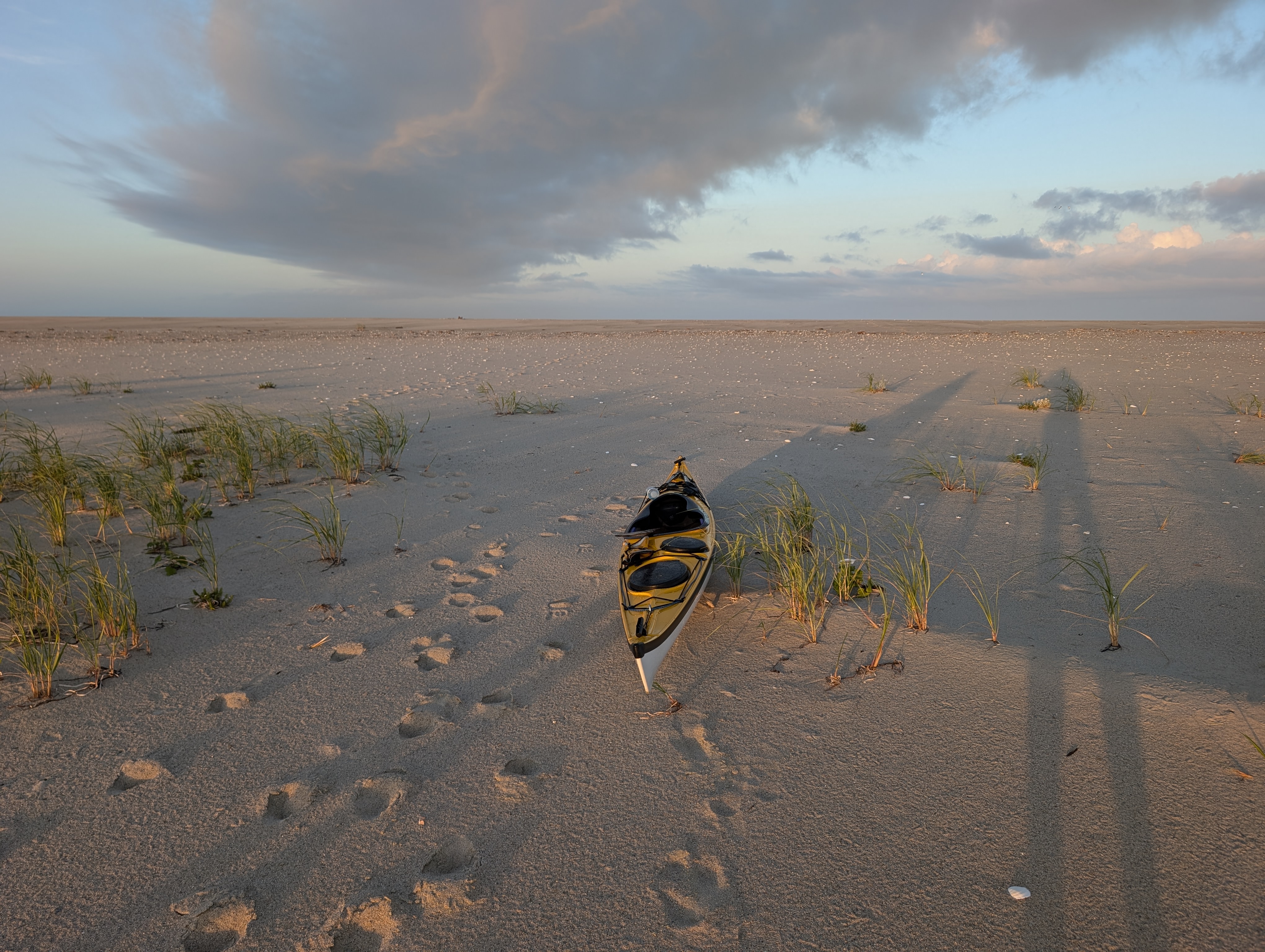
We (me, Tracy, Scott) launched about 1.5 hours before low tide. Upon leaving Stage Harbor, into Nantucket Sound, we saw a ship where a ship should not be. Is it trying to get into the harbor? It would not fit. Why does it appear to be spinning? We finally realized it was a US Army Corps of Engineers ship and it was dredging. When I got home tonight, I found a Cape Cod Times article – it started yesterday, is s 24/7 operation, and the dredger is from North Carolina on assignment for this task. The design of the ship is pretty cool: https://www.capecodtimes.com/picture-gallery/news/2024/08/31/corps-of-engineers-dredge-murden-stage-harbor-chatham-ma-boat/75013495007/
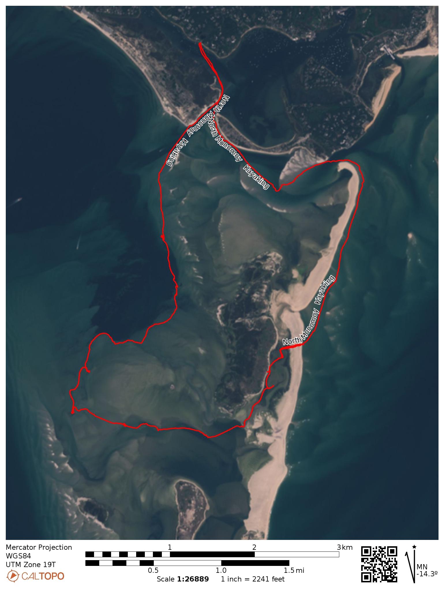
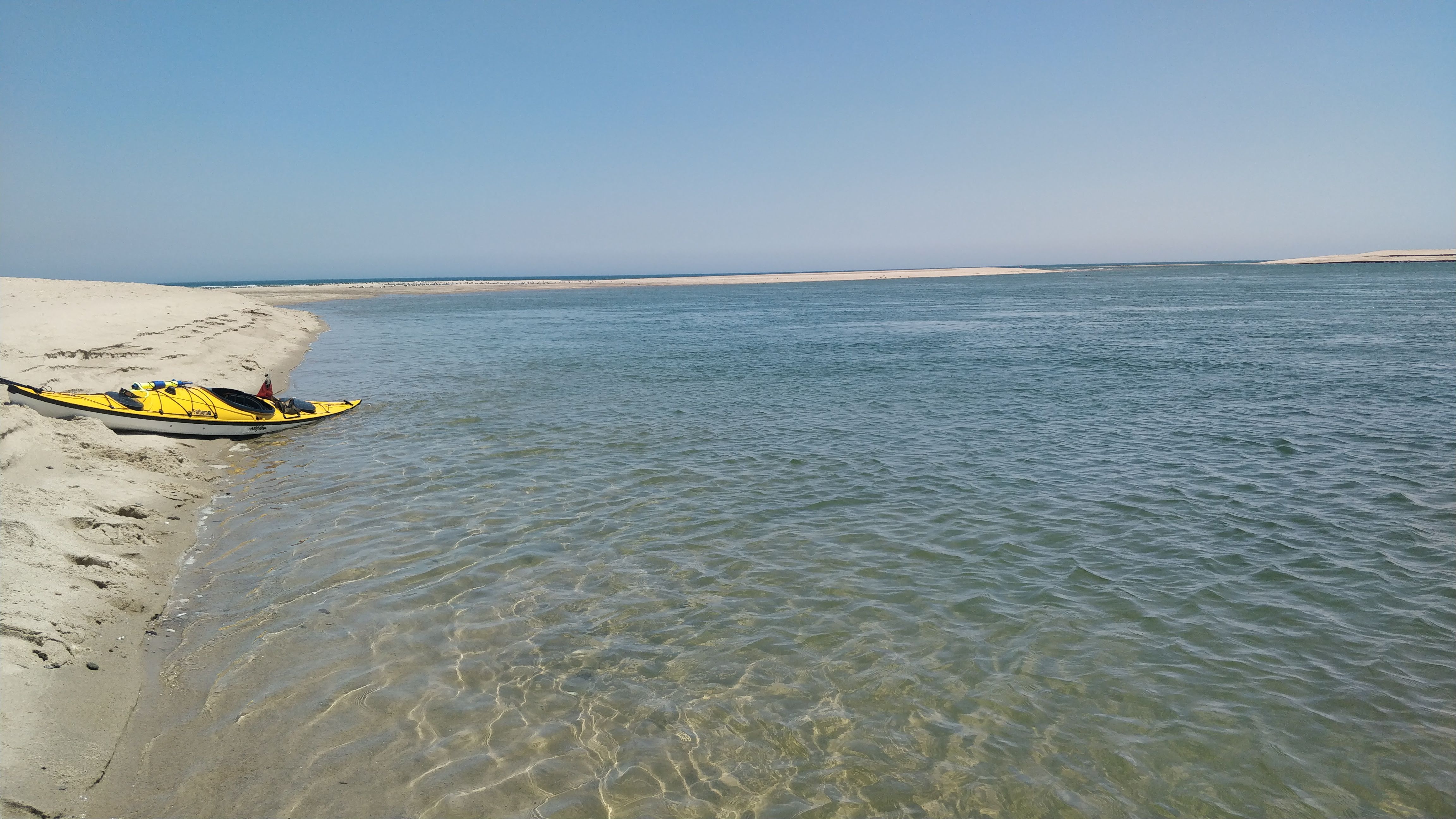
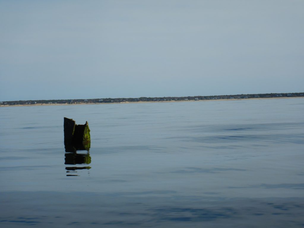
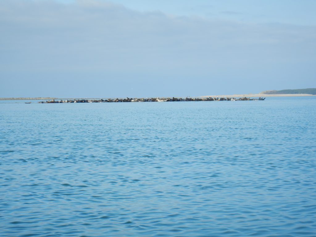
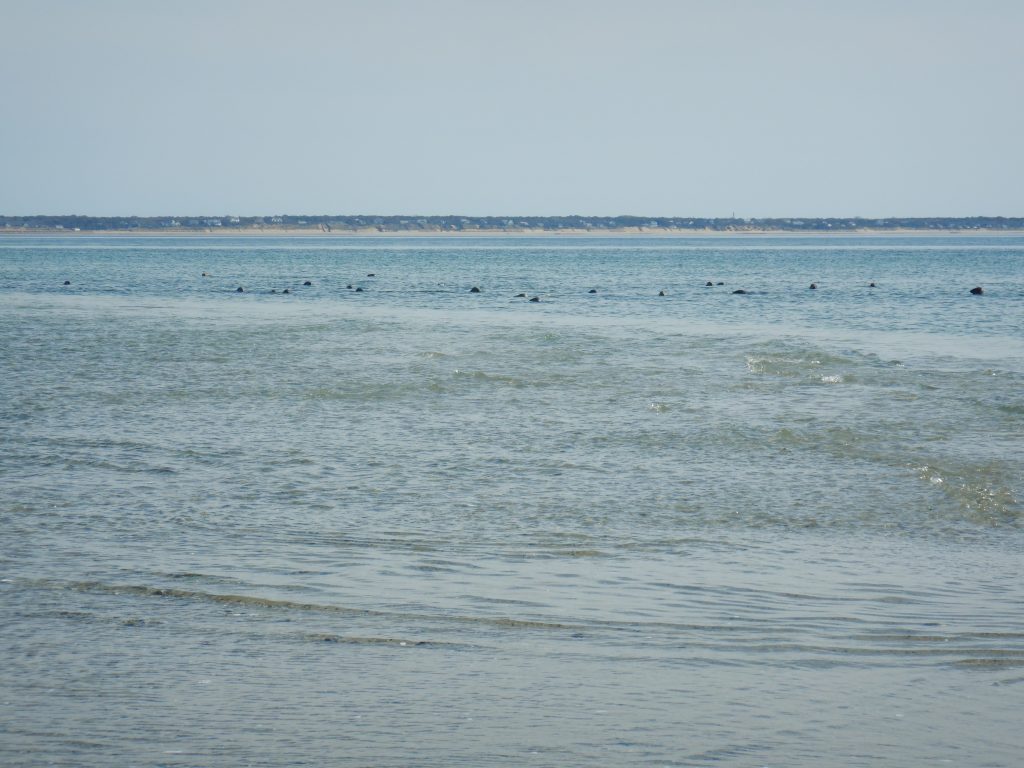
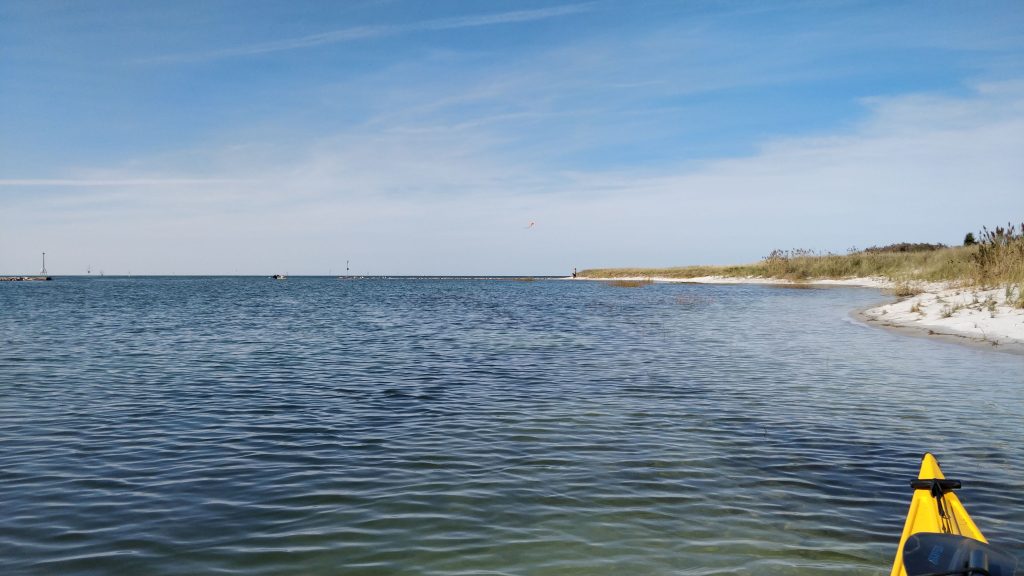
After getting past and through all the party boats on the sandbars outside Stage Harbor, the paddle was rather peaceful. The islands protected us from the winds from the SE. We were surprised how far out the shallow bars extended to the W from North Monomoy Island, and we eventually found we could paddle by following the “sand vs blue” line in the water marking the edge of the shoals. (Satellite map at end of this post shows clearly how we followed this!) The seals apparently do this as well, and we had seals popping up and around our kayaks anytime we were not over the sand bars.
As we reached the south end of North Monomoy Island, I told Tracy and Scott that we could continue paddling south along South Monomoy Island another mile or two, turn around, and retrace our path. That would get us back by sunset. OR … we could turn to the east, paddle between North and South Monomoy, and paddle up the east side of North Monomoy, which is theoretically sheltered from the ocean by a spit of land from South Monomoy island that runs N-S parallel to the east side of North Monomoy island. I also mentioned I don’t know how shallow it will be, but we were an hour past low tide and the tide is coming in, so how bad could it be? Also we were at a neap tide part of the month, where the low tides are higher (by a foot or so) and the high tides are lower.
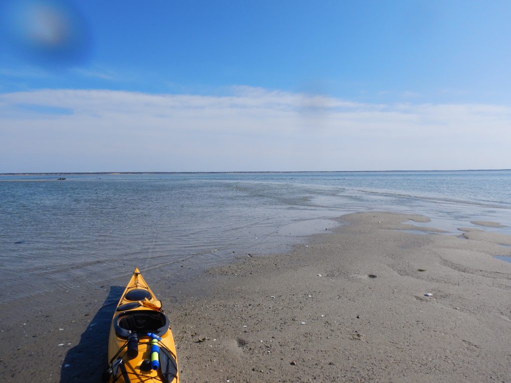
So we did. At first it was rather pretty. And a bit surreal. The shallows extended for a couple of miles. This area felt like the tidal flats in Brewster, Orleans, and Eastham between mid and low tide on Cape Cod Bay. But unlike Cape Cod Bay, this area is constantly changing due to water flow.
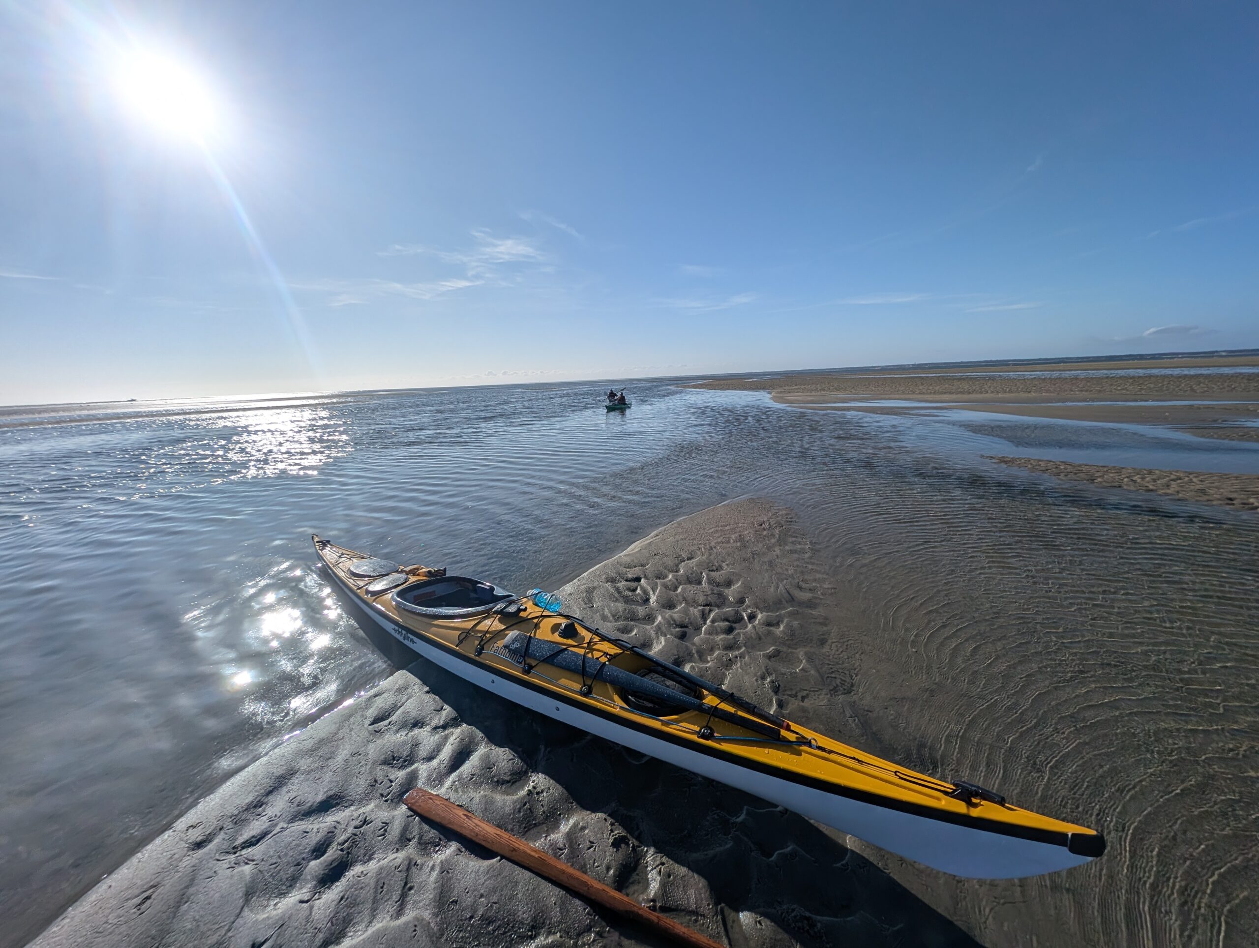
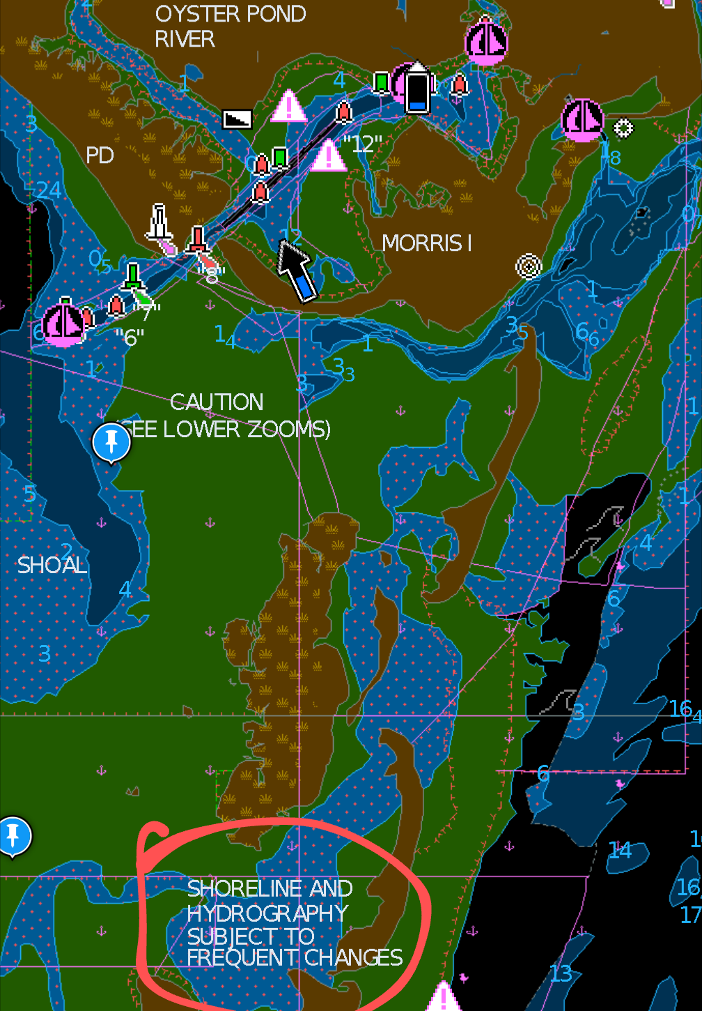
But it started getting shallower. We walked our boats a few hundred feet in shallow water. But this looks tidal, and we are over an hour past low tide, so how bad could it be? I had 3 map sources: Google Maps, Navionics, and Blue Water charts on my Garmin. Nautical charts tend to suck at accurately portraying shoals. I’ve found Navionics generally reliable with their color scheme when there is no water depth: green – there is no water here at low tide, or near low tide, blue with red dots — a power boat cannot operate here, but for some fraction of the tidal cycle, you can get a kayak through.
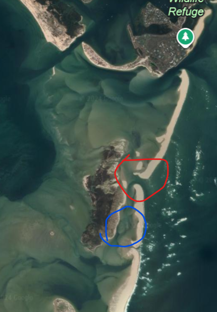
But they were all wrong, Google Maps (that photo is dated 5/2/2023) was wrong. At present day, the “mud flats” to the east of North Monomoy (and west of the northern spit of South Monomoy) just mud and sand. [sidebar: when I got home tonight, I looked at my trip on the Garmin Connect website, and it had an option to choose from Google Maps or satellite imagery from HERE Technologies. THAT satellite photo more clearly shows this flat looking like it does not have water. Look at the Google maps image at the lower left: The inlet circled in red does not exist. The flats circled in blue do not have water, at least even at mid-tide. Navionics DID warn us (see below, lower right)
We got to a point where everything to the north looked like sand and mud. The north end of North Monomoy was at least a mile to our north. And it was an hour before sunset. It might take us an hour just to backtrack to Nantucket Sound, and then paddling in the dark with few visual references for a couple of miles. It might take 2 hours to get back.
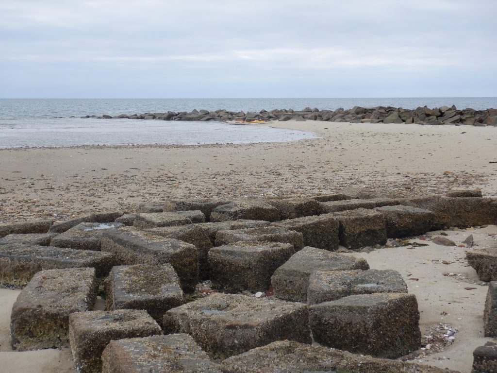
So we split up on foot. Tracy and I walked 5 minutes to the east to view the ocean side of the north spit of South Monomoy Island and contemplate a paddle northward. Scott walked north along North Monomoy to see where the water might pick up again. If it picked up.
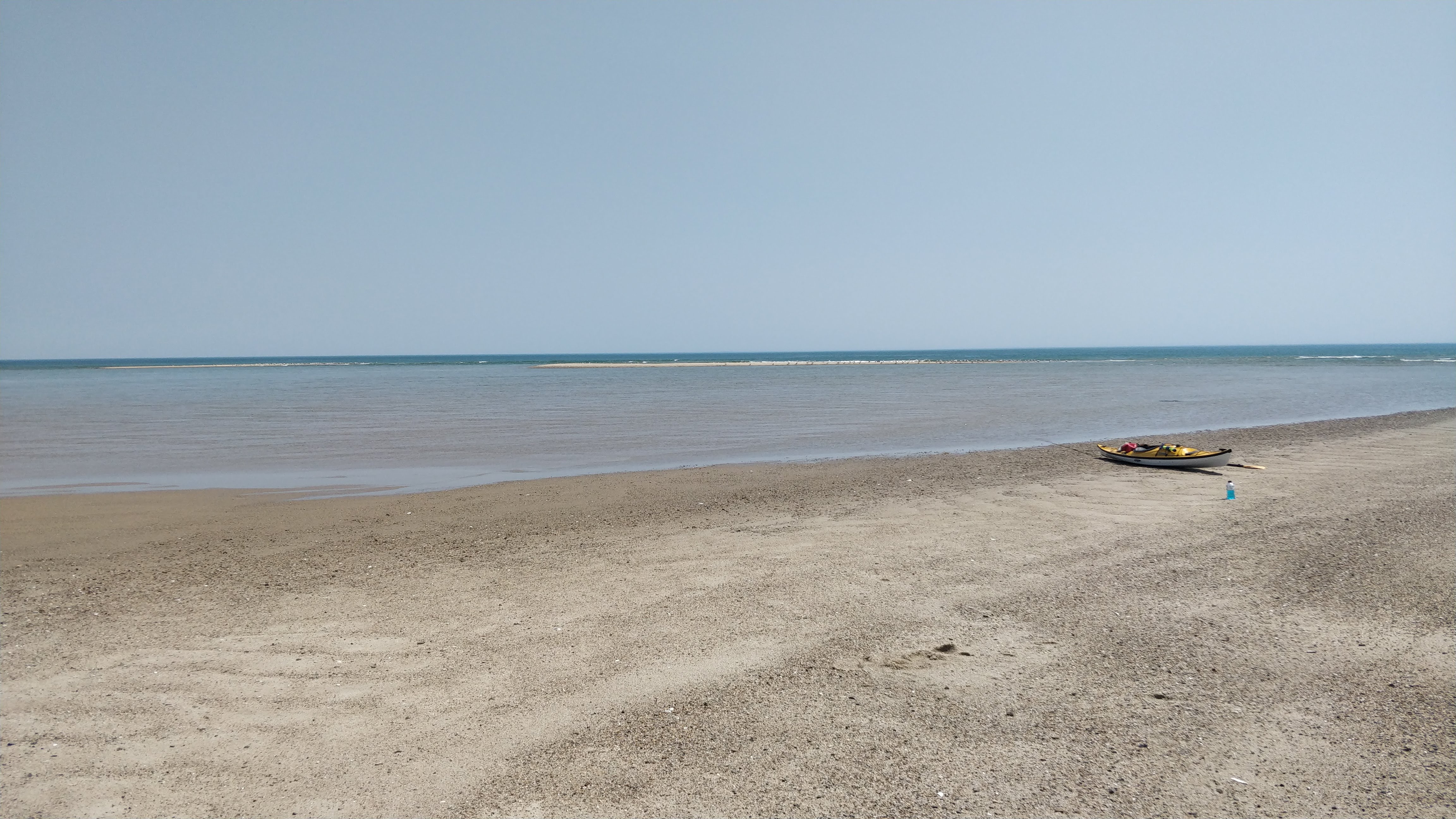
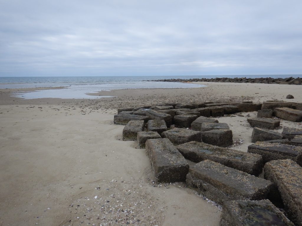
When Tracy and I reached the beach, we immediately saw we had a plan. While the beach dropoff to the ocean is steep, at the current tide the beach was protected by sandbars creating the breaking waves a few hundred feet offshore. So we had a protected paddle to the north if we stayed between the north spit of South Monomoy Island and the sandbars to the east. We were also at an elevation to clearly see that Scott was not going to see anything useful! I blew my whistle to get Scott’s attention, and Tracy and I headed back and started walking two of the boats to the beach.
We launched. The surf was mild but still annoying, I got water in my cockpit before I could get my skirt on. We turned on our white navigation lights – USCG rules call for a white light visible for 360 degrees, I keep one attached to my PFD above my right shoulder.
This paddle was kind of fun. The mile or so paddle north we had the north spit of South Monomoy island to our left, and sandbars to our right. The extend of the sandbars varied, and we could use where we saw breaking waves as a visual sign where the water was shallower. We also wanted to avoid that — shallow water and breaking waves give little room to maneuver, and the breaking waves turn you sideways but there is not enough depth to do much with your paddle. There were sandbars on both our left and right, and we found a path between. This stretch happened during dusk, with enough light to see what we were doing.
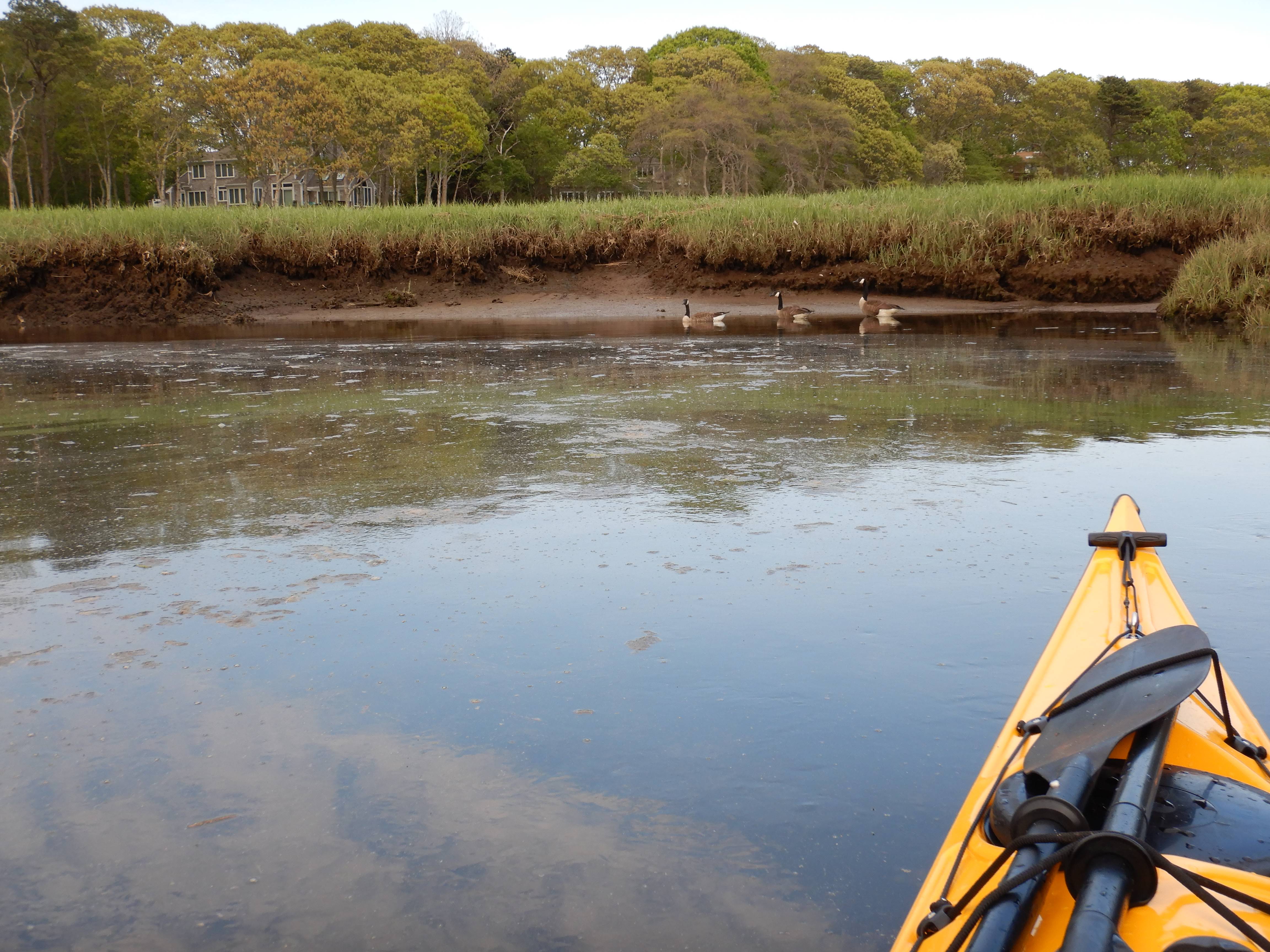
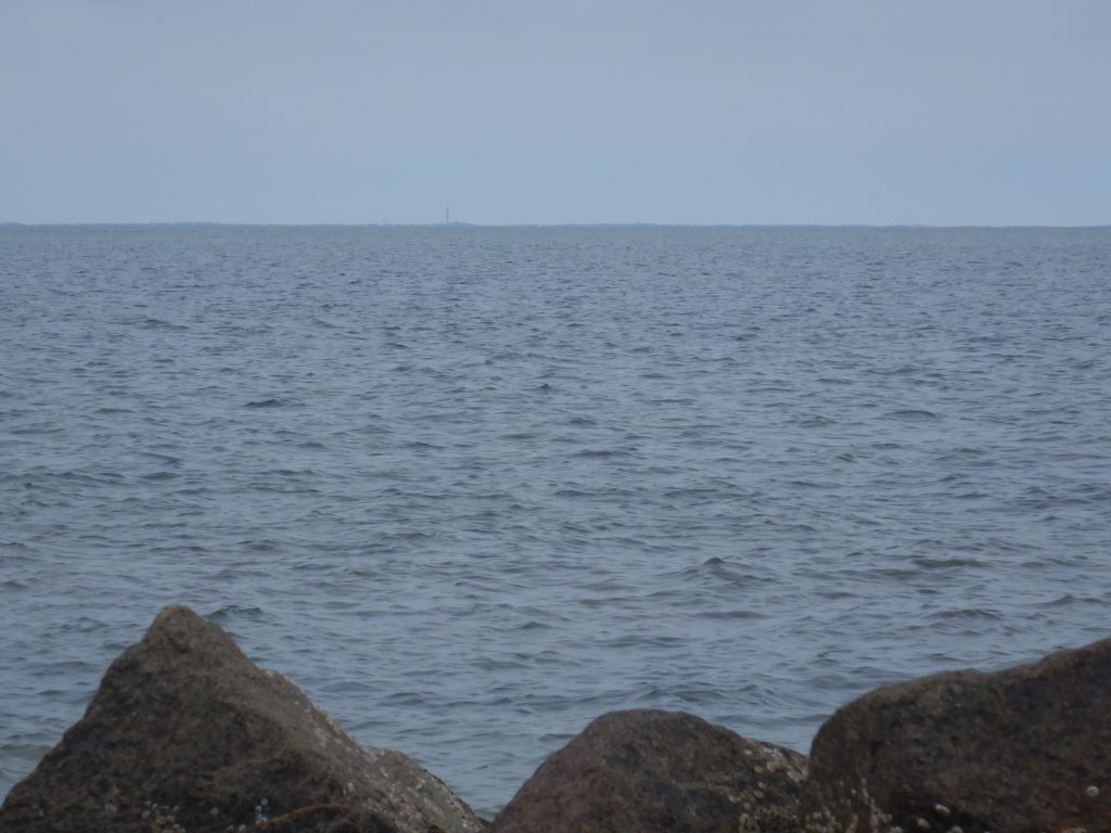
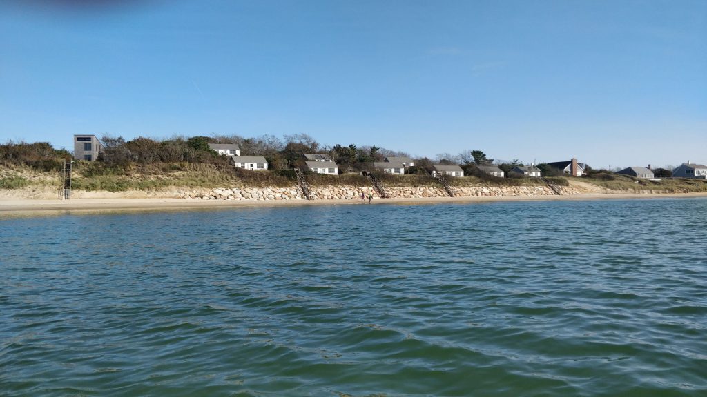
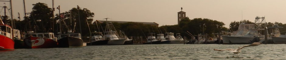
When we reached the north end of the spit we were following, we saw Chatham again, and even lights on at houses — civilization! We were staring at the small handful of large homes on Morris Island who are engaged in a million dollar fight against mother nature. By this time it was totally dark. We paddled in darkness about a mile to the channel into Stage Harbor and then to the town landing that we launched from.
Sometimes we encountered power boats in the dark heading into Stage Harbor. To my surprise, about half the power boats we encountered did not have running lights. This was unnerving. We hoped they could see us, but we could not see them!
We got off the water around 815pm, an hour after sunset. It was not the paddle I expected, but it was the paddle we got. And a new story to tell!
I want to go back at higher water. Sharks be damned, I want to paddle the wave breaks between the sandbars/shoals and the shore on the Atlantic side, and also see if that tidal flat ever gets water even at high tide. UPDATE: As far as I can tell, that area remains dry except maybe during storms and extreme tidal events.
UPDATE! My subscription to caltopo.com includes access to weekly satellite photos — I wish I knew this before the trip! Below is a satellite photo from 2024-09-05 with a GPS track of our trip superimposed on it. The image very accurately reflects what we found — there is an area of sand east of N Monomoy Island, and the sand spit that projects north from S Monomoy extends almost all the way to Morris Island.