Over a year ago the City of Atlanta City Council passed motion to open a park along the Chattahoochee at the site of the Atlanta water intake facility, by the Hooch Wave.
Every year someone asks about the Hooch Wave and how to get to it. It was formed by a weir on the Chattahoochee just below the Atlanta water intake. Weirs make an ideal wave, as you can see by this photo from AW. I last visited the wave one morning in November 2010 with Rick Thomspon, and it looked a lot like this picture.
AW photo of Hooch Wave Surf at moderate flows
Accessing the wave is tedious, as one must park in a sketchy area and hike through a lot of muck. Jim Wade, an internationally competitive kayaker who also happens to be a PhD student at Georgia Tech, had told me that the island on river right of the wave had washed out a few years ago and that the waterworks had totally remade the area. Once the park was open, it was on my bucket list to check out the park and see how the wave has changed. Nobody has posted any info on the AW website since May 2012. And changed it has.
Standing Peachtree Park is entered via the same entrance as the Atlanta water intake. Enter off of Ridgewood Rd. The sign says it is open 8am to 8pm. But how to get to the river is not obvious. The captions in my photos chronicle how to find the river (it is not obvious), but here is a summary of what I found:
- The park is open 8am to 8pm. River access is via the second gate after the parking (you have to walk) and veer left down the grassy hill.
- It took me 8-10 minutes carrying my boat to get to the river.
- At the river, there is an 8-10 foot bank to get down. Easy down, harder up, would be harder with a canoe. Climbing out, it kind of reminded me of the Locust Fork takeout, but only half as bad.
- This would be an ideal access point for paddling the Metro Hooch down a bit further. If you don’t mind carrying your boat a bit!
- River level was 1050 cfs.
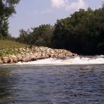
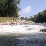
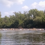
- The wave is no longer a wave. More like a drop. With not much water. The reconstruction of the island and the weir has led to something that is not a weir anymore. It is a pile of rocks, more like Rock Jumble on the Chattooga or the busted dam at the Tuck putin.
- Nothing was surfable to me. At least in a playful way. Maybe a spud boat could do something in there, but my Dagger Juice could not.
- At higher flows, this could become an epic hole.
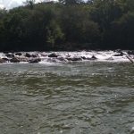
- The ledges on the river-right (Cobb) side of the island are low flow at nominal flows. However, I would like to come back at 2000 cfs or higher. There seemed to be several spots with potential. One could sink my bow, but the water was shallow enough that I could not get any pop out of it.
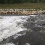
- The river wide surf wave, apparently formed by the sewage treatment outflow pipe that extends across the river, is really glassy. All the outflow appeared to be below the surface on river left.
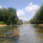
I saw a lot of wildlife. The usual hooch creatures: turtles (many, and huge), muskrats, herons. Also two adult deer!
Based on some Facebook comments to this post (thanks!), I want to add something else. The city signage implies this is an access point for boating. The current drop by the waterworks is not exactly navigable for the typical river user. A whitewater boater could run it, but it really is now just water down a big pile of rocks. The older weir-type design channeled the water into a clear smooth drop. This both formed the wave but also made the drop runnable by regular or irregular recreational boaters. The city should be approached about modifying the drop to make it more easily navigable — removing a few rocks in the middle to create a channel (and a wave!) is an obvious solution.
- Entrance from Ridgewood Rd. Standing Peachtree Park! Hours are 8am to 8pm. If you look closely at the sign, one of those logos on the bottom sugggests that canoeing is a sanctioned activity.
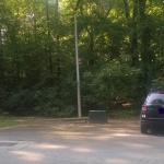
- There is ample parking on the left just inside the gate. Immediately behind me (where I am taking this photo) on the other side of the drive is a covered pavillion for picnics.
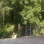
- Walk (don’t drive) through the green gate. It should be open 8am to 8pm.
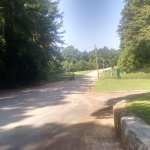
- Take the dead-end left road and down the grassy hill.
- It is not obvious from here, but veer left off the pavement down the grassy hill.
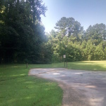
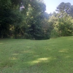
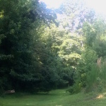
- Veer left down the grassy hill.
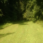
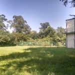
- Follow the open grass. I guess I found it just after it was cut!
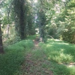
- Most of the trail through the woods is shaded. Peachtree Creek is on the left.
- The trail opens on a field by the water intake plant. Head across the field towards the left edge and follow the trail.
- View from the trail down to the river access. About 8-10 feet down. Trail is steep but walkable.
- The putin. The trail drops about 8-10 feet down to the bank. Still do-able with a boat on your shoulder, an open canoe would be more difficult.
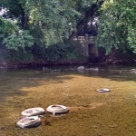
- View downstream from put-in.
- View upstream towards wave from Peachtree Creek and access trail.
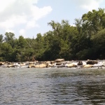
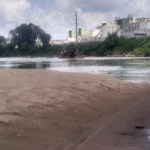
- Hooch “Wave” from just downstream.
- Site of the “Hooch Wave” from standing on a rock on river left. Seems more like a rock jumble than a wave today. Compare this to the photo linked above from the AW webpage, which is what I recall it looking like in 2010.
- Panorama photo of the ledges on the river right (Cobb Co) side of the island.
- Ledges on river right side of island.
- Ledges on river right (Cobb Co) side of the island.
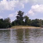
- View upstream towards the waterworks. The reformed island is in the middle. Waterworks (hooch wave) is to the right, other ledges are to the left of the island (when looking upstream from here)
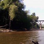
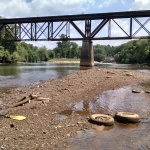
- View upstream from a sandbar just above the Atlanta Road bridge.
- This looks like one of Atanta’s infamous CSOs (combined sewer overflows), which supposedly are no longer needed since the system was reworked. David Kaufman’s book “Peachtree Creek” has some epic photos of what a CSO discharge looked like.
- The picture does not do it justice, but just below Atlanta Rd is a nice river-wide surf wave. It is formed by an underwater concrete structure (pipe-like) that runs almost the width of the river from the Atlanta side (river left). Upon further inspection, it runs directly from the marked outflow point of the Atlanta treatment plant, and there are 3 underwater frothy spots on river left (I surfed more towards river right). Unlike Cobb county, I think the Atlanta outflow is a pipe that emits all the water underwater via this pipe.
- View downstream from just below the Atlanta Outflow Surf Wave.
- Anybody need a truck?
- Dredging operation going on down stream. According to CRK, it is legit (I asked).

I am really happy to have found this. I was just thinking about ways to sneak in if I couldn’t be legal. I wanted to explore the old Fort Peachtree and the Ridgeview Road entrance seems close to that as well. The pictures of how to find the river will be really helpful. Thank you!
I was there during the afternoon of Oct 12,2016,just for the walk and the view.Everything looks the same as the photos posted. The park is strangley deserted And quite.It is a place you won’t find by accident.You pretty well have to be on a mission to find it.The City Park sign is small and not very informative.The gate is half open and half closed.There is an electronic key pad for operating the gate for the water works employees.There is a large “RED” keep out sign on the closed portion of the gate,which makes entry into the the park rather intimedating. There was only one other car anywhere around,and it was parked where you begin the trail alongside Peachtree Creek to the River.I saw another car pull in the gate,back out and drive away. I get the impression the city really doesn’t want visitors to the site.They built a nice picnic pavilion and barbecue pit near the entrance to the park, but it doesn’t offer any view or access to either the creek or the River.